Contacts
Tailwater of USACE-operated tailwater of Lake Tenkiller.
The Lower Illinois River (Google Map) is located 5.5 miles northeast of Gore on SH 100.
Lake Details
Located
U.S. Corps of Engineers and ODWC manage public access locations.
- Dave's Bait & Tackle(304 S Main St, Gore, OK 74435)- (918) 489-2424
- Jimmy Houston Outdoors Store(25148 OK-82, Park Hill, OK 74451)- (918) 456-1156
- Walmart Supercenter (Sallisaw)(1101 W Ruth Ave, Sallisaw, OK 74955)- (918) 775-4492
- Mike's Outdoors(2015 N York St, Muskogee, OK 74403)- (918) 687-3146
- Dunham's Sports(2346 E Shawnee Rd, Muskogee, OK 74403)- (918) 913-4250
- Walmart Supercenter (Muskogee)(1000 W Shawnee St, Muskogee, OK 74401)- (918) 687-0058
- Walmart Supercenter (Tahlequah)(2020 Muskogee Ave, Tahlequah, OK 74464)- (918) 456-8804
- JJ's Bait Shop(20108 N County Rd 4460, Stigler, OK 74462)- (918) 552-2272
- Bait Barn(550 W Harris Rd, Muskogee, OK 74403)- (918) 682-4479
- Mater's Bait & Tackle(7500 N York Rd, Okay, OK 74446)
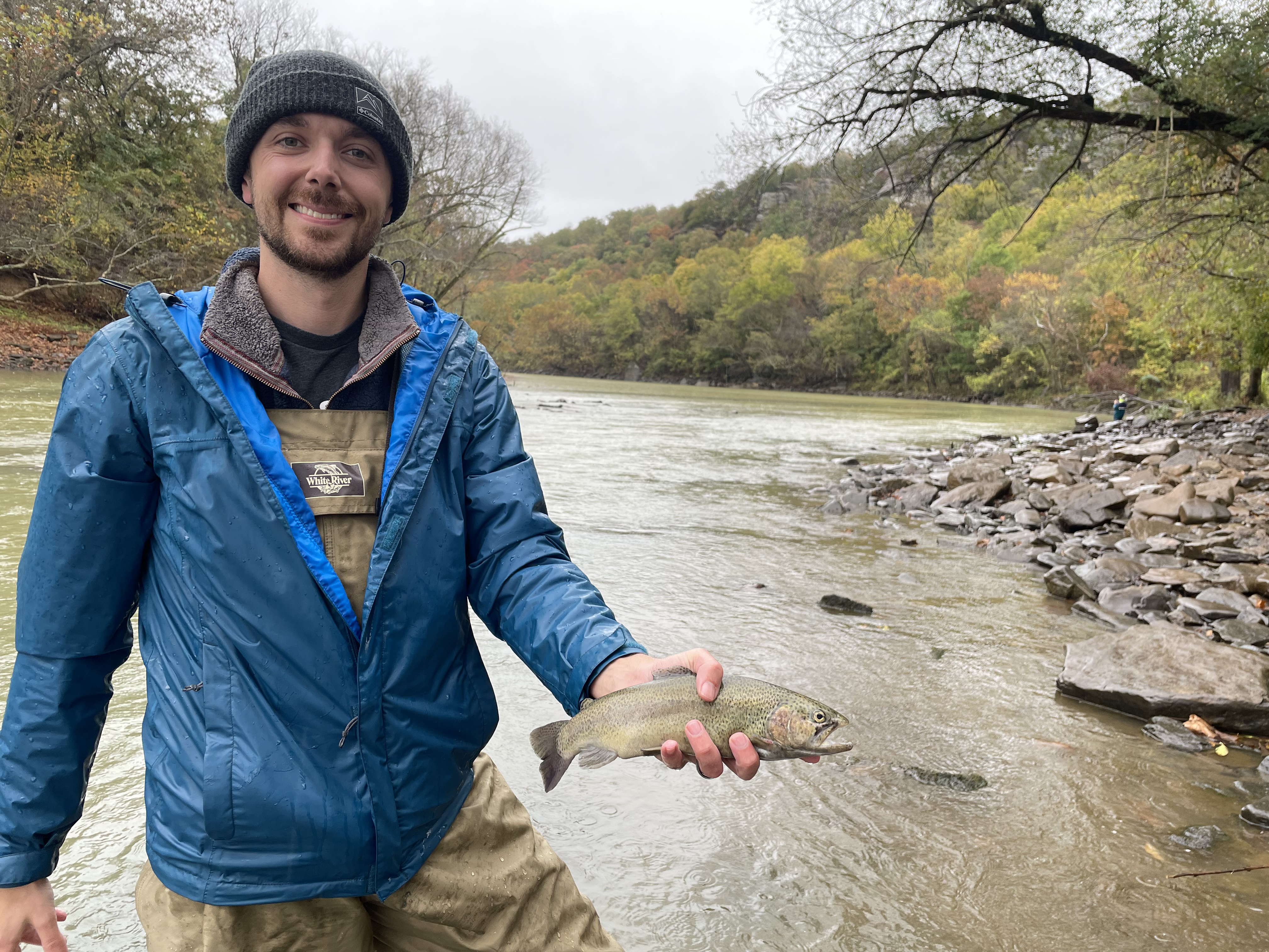
Rainbow trout are stocked regularly.
(From Tenkiller Dam downstream to the confluence of the Arkansas River)
Walleye, sauger and saugeye: six per day/16-inch minimum.
(From Tenkiller Dam downstream to the confluence of the Arkansas River)
Allowed methods: From Tenkiller Dam downstream to the U.S. 64 bridge: fishing limited to one rod and reel per person. Cast nets may be used to take bait for personal use from the south boundary of the lower Illinois River Public Fishing Area – “Simp and Helen Watts Area” downstream to the Highway 64 bridge. (Also see “Tailwaters” regulations.)
Note: For more trout regulations, see Trout Regulations.
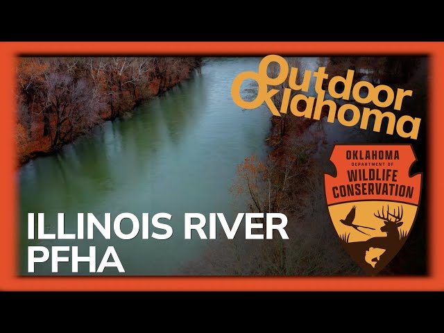
Lower Illinois River PFHA Report
May 3. Elevation is 7 ft. above normal (rising), water temperature 57°F and clear.
Trout, Rainbow Slow on caddis flies, hair jigs, in-line spinnerbaits, midges, nymphs, PowerBait around below the dam, shallows, shorelines.
Comments: Fishing is slow due to larger water releases from dam. At this time 4800 cfs.
Report submitted by Jerry Henry
Additional Resources
Fish Species of Interest
Upload Your Catch
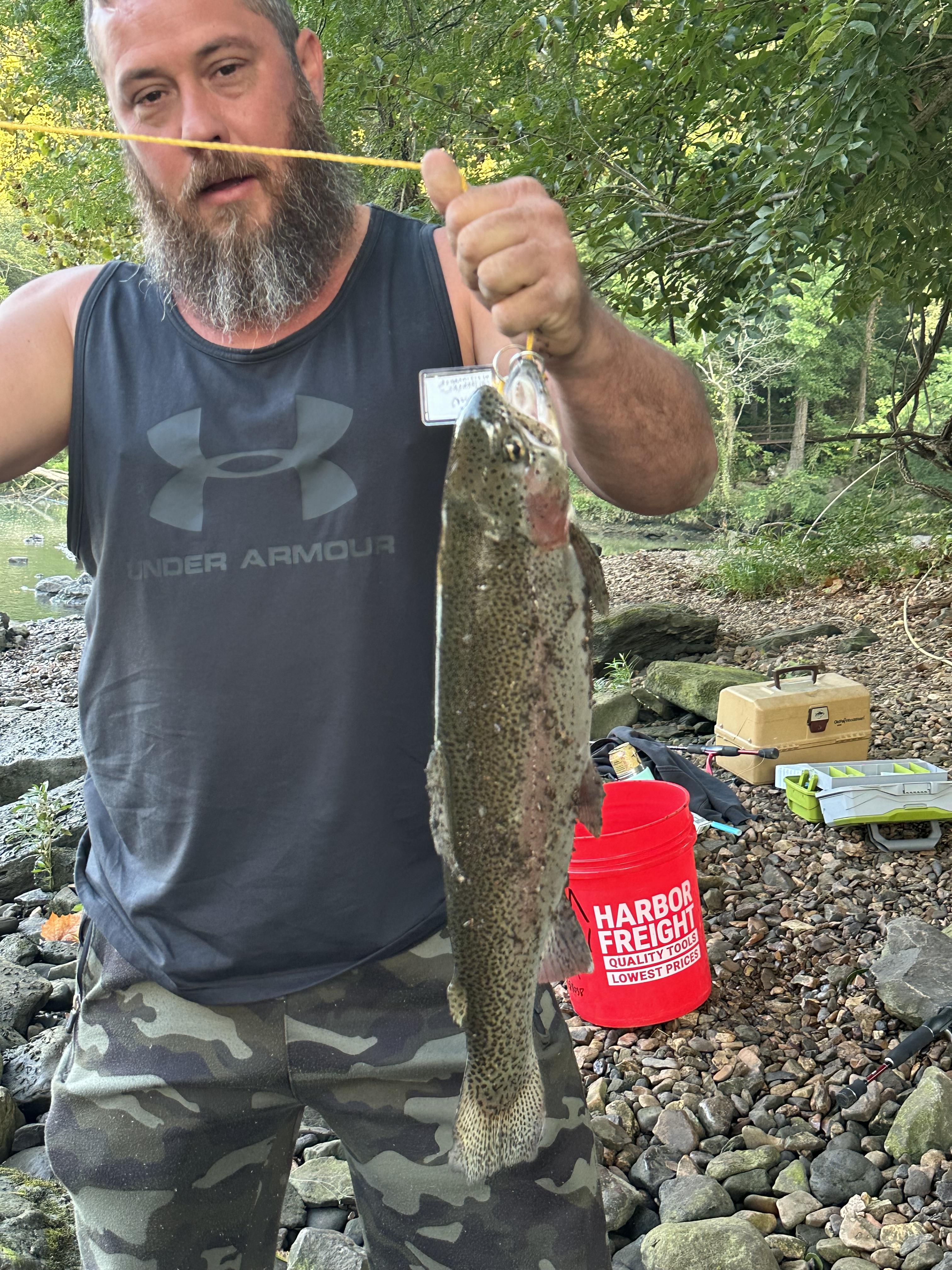
Patrick Sharp
- Caught at: Lower Illinois River PFHA
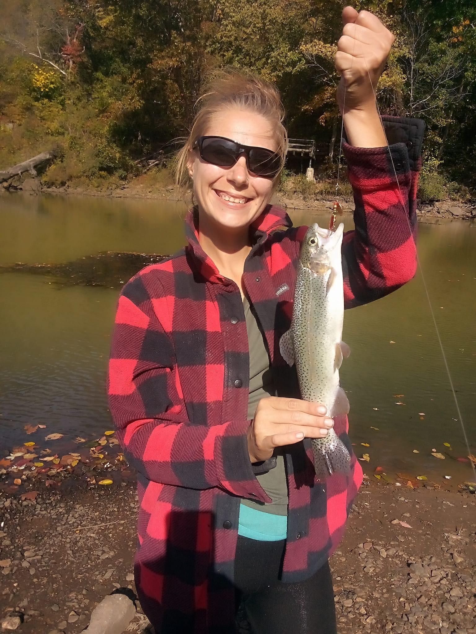
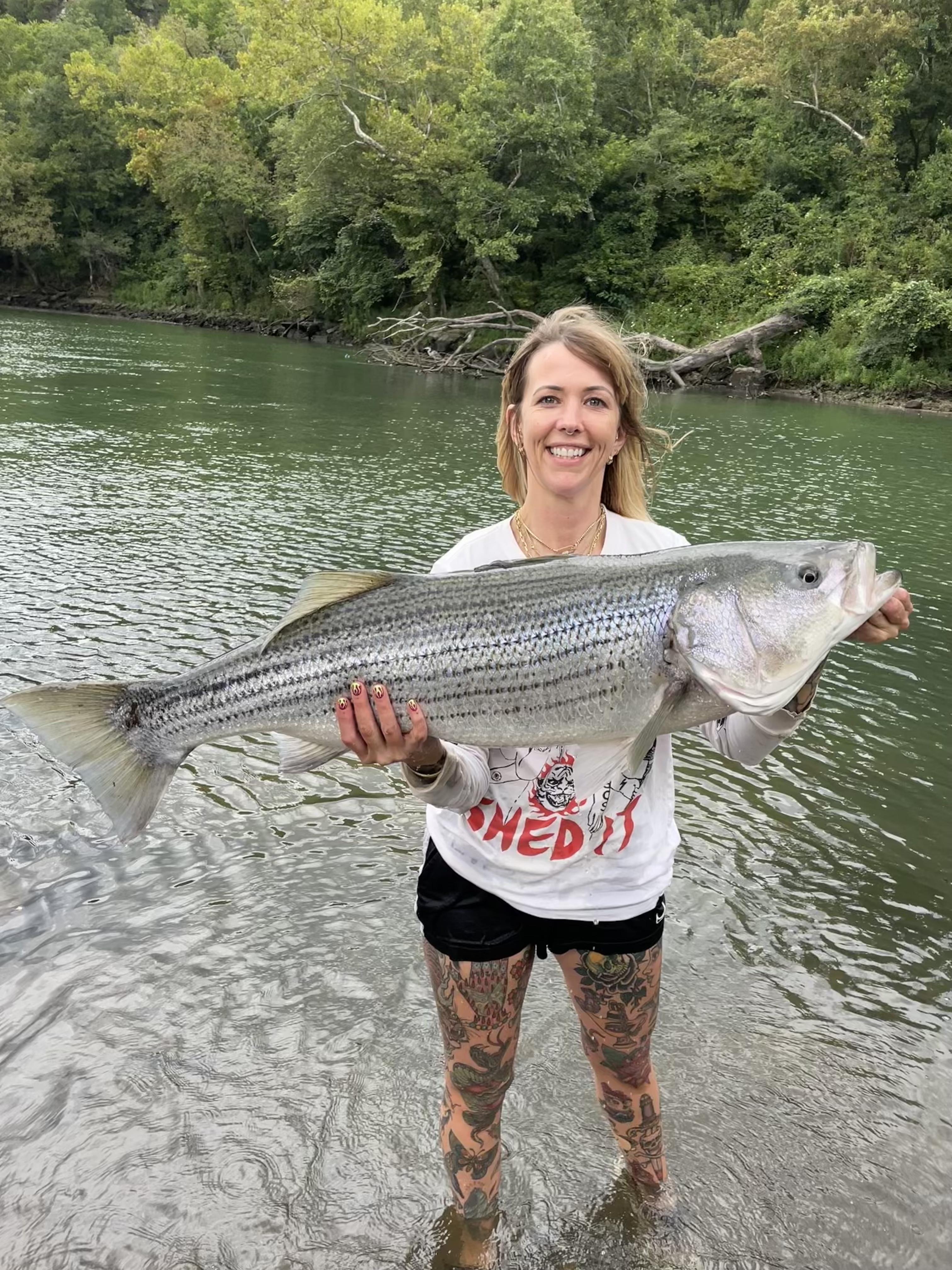
Kristin Reese
- Caught at: Lower Illinois River PFHA
ZACK SMITH
- Caught at: Lower Illinois River PFHA
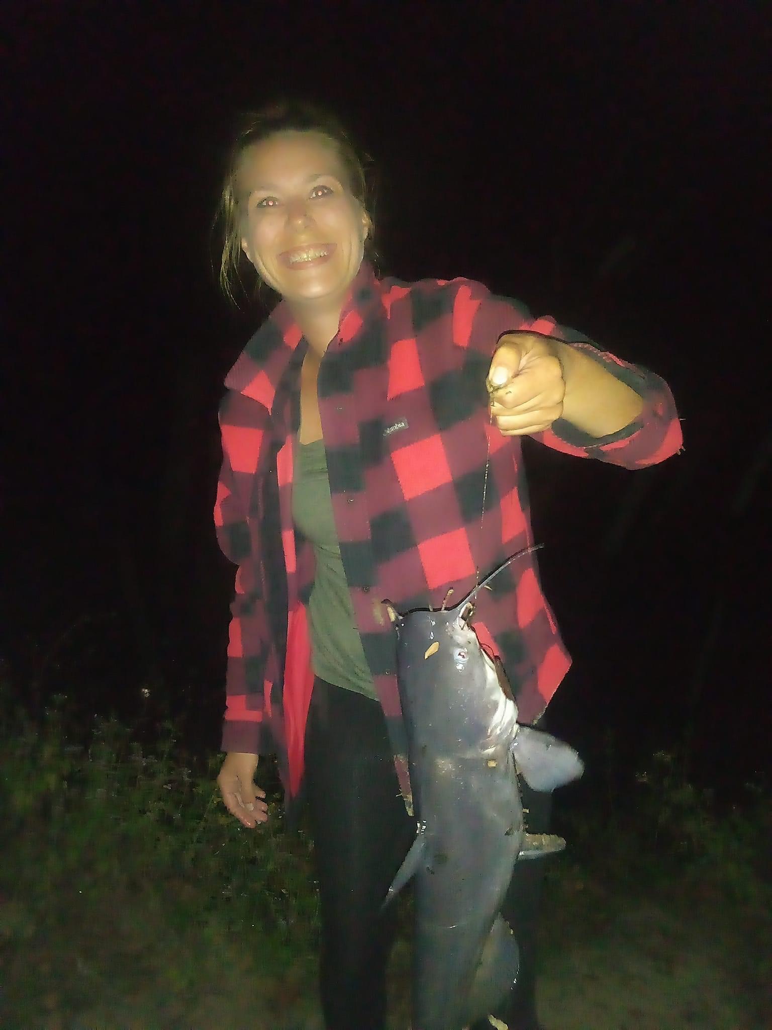
Kristin Reese
- Caught at: Lower Illinois River PFHA
Adam Henson
- Caught at: Lower Illinois River PFHA
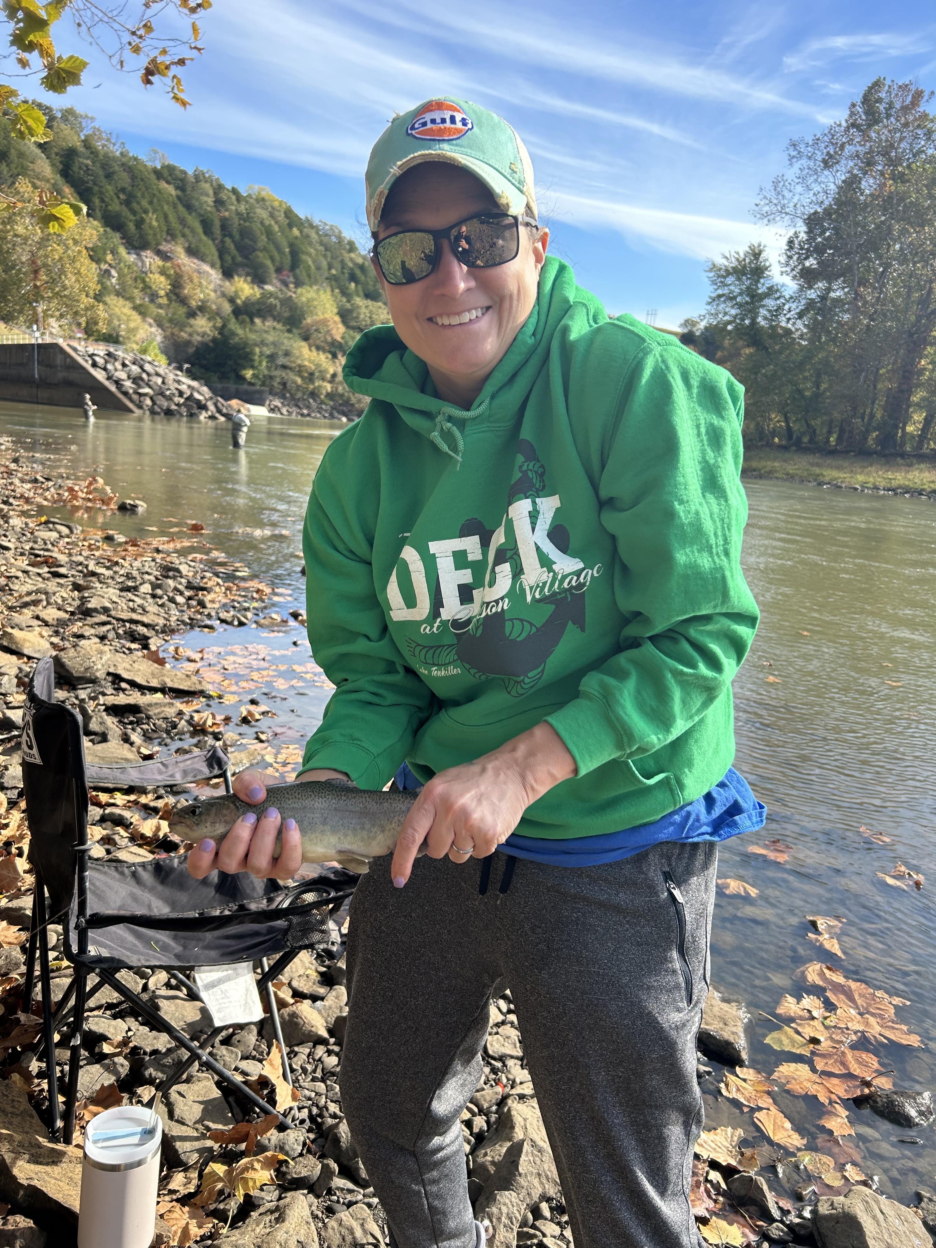
Christy Rhynes
- Caught at: Lower Illinois River PFHA