Contacts
Operated by the U.S. Army Corps of Engineers. Impounded in 1953 Ft. Gibson is the last lake in the Grand River chain and is subject to drastic lake level fluctuations. Located near Wagoner, Ok, Ft. Gibson Lake can be accessed through numerous USACE areas and two state parks, and it is very popular for all types of recreation. Ft. Gibson is a highly productive lake, where the Ozarks meet the central irregular plains. Rocky bluffs and outcrops dominate the east side of the lake, and shallower with gradual slopes on the west side.
Fort Gibson Lake (Google Map) is located 7 miles east of Wagoner on SH 51.
Lake Details
Located
U.S. Corps of Engineers and Oklahoma State Parks manage campgrounds with full RV hookups, boat ramps and designated swimming areas.
- Mater's Bait & Tackle(7500 N York Rd, Okay, OK 74446)
- Dunham's Sports(2346 E Shawnee Rd, Muskogee, OK 74403)- (918) 913-4250
- Mike's Outdoors(2015 N York St, Muskogee, OK 74403)- (918) 687-3146
- Bait Barn(550 W Harris Rd, Muskogee, OK 74403)- (918) 682-4479
- Walmart Supercenter (Muskogee)(1000 W Shawnee St, Muskogee, OK 74401)- (918) 687-0058
- Walmart Supercenter (Wagoner)(410 S Dewey Ave, Wagoner, OK 74467)- (918) 485-9515
- Bait Masters(1516 OK-51, Wagoner, OK 74467)- (918) 485-9206
- Walmart Supercenter (Tahlequah)(2020 Muskogee Ave, Tahlequah, OK 74464)- (918) 456-8804
- Jimmy Houston Outdoors Store(25148 OK-82, Park Hill, OK 74451)- (918) 456-1156
- Pokey's Trading Post Bait & Tackle Shop(854 Spring Creek Ct, Locust Grove, OK 74352)- (918) 386-2738
Crappie have a 10" minimum and daily limit of 15.
On the west side of the lake, some access is possible from jetties and berms.
All crappie: 15 combined per day/10-inch minimum.
Additional Resources
Upload Your Catch
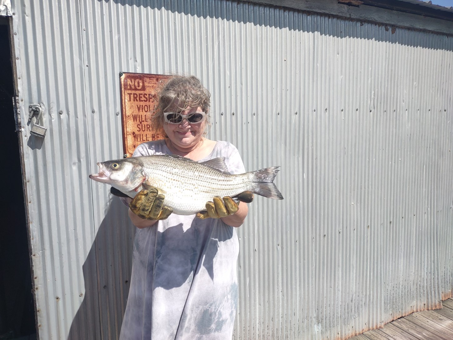
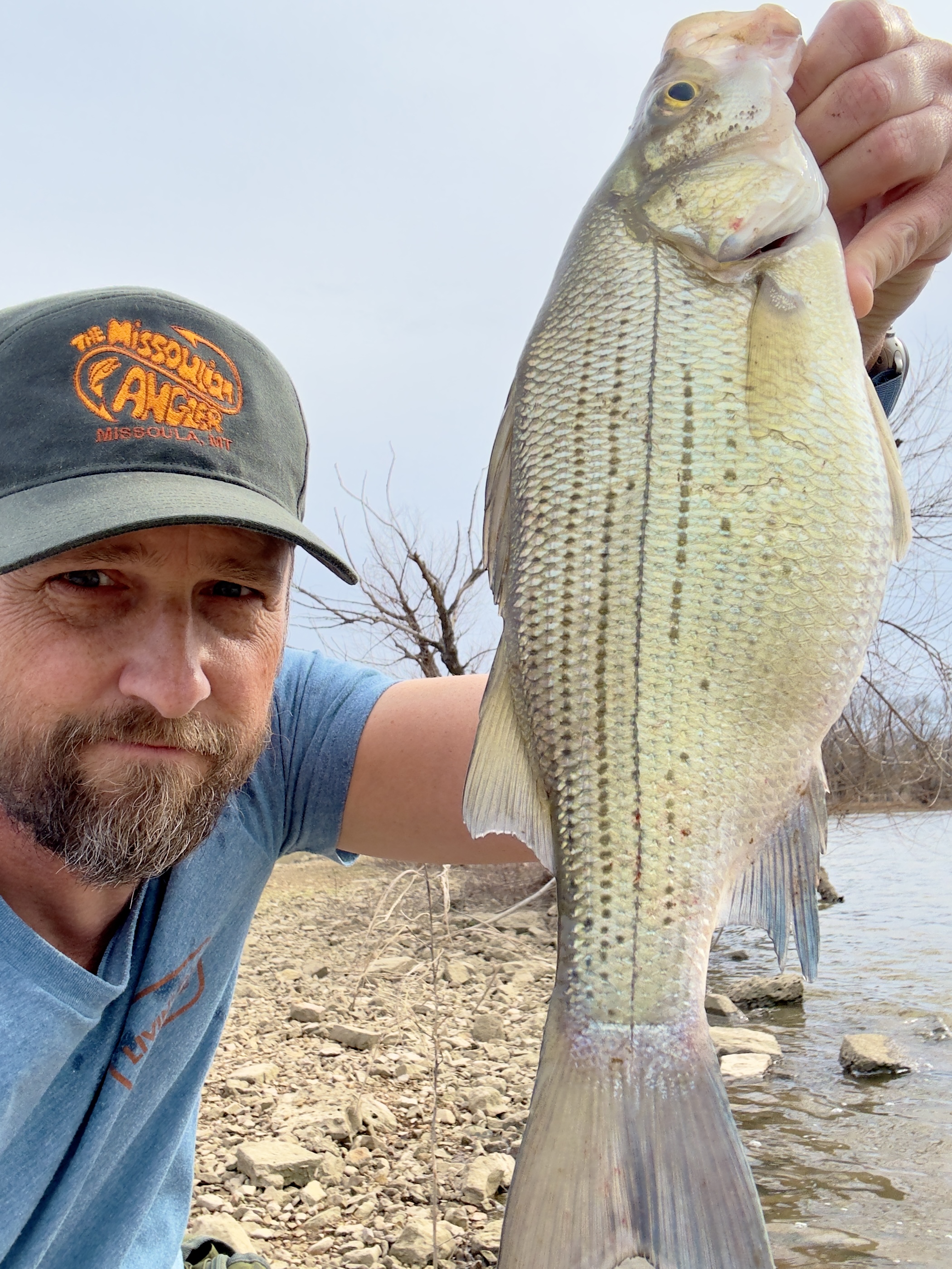
Dawn Crain
- Caught at: Fort Gibson
Russell R
- Caught at: Fort Gibson
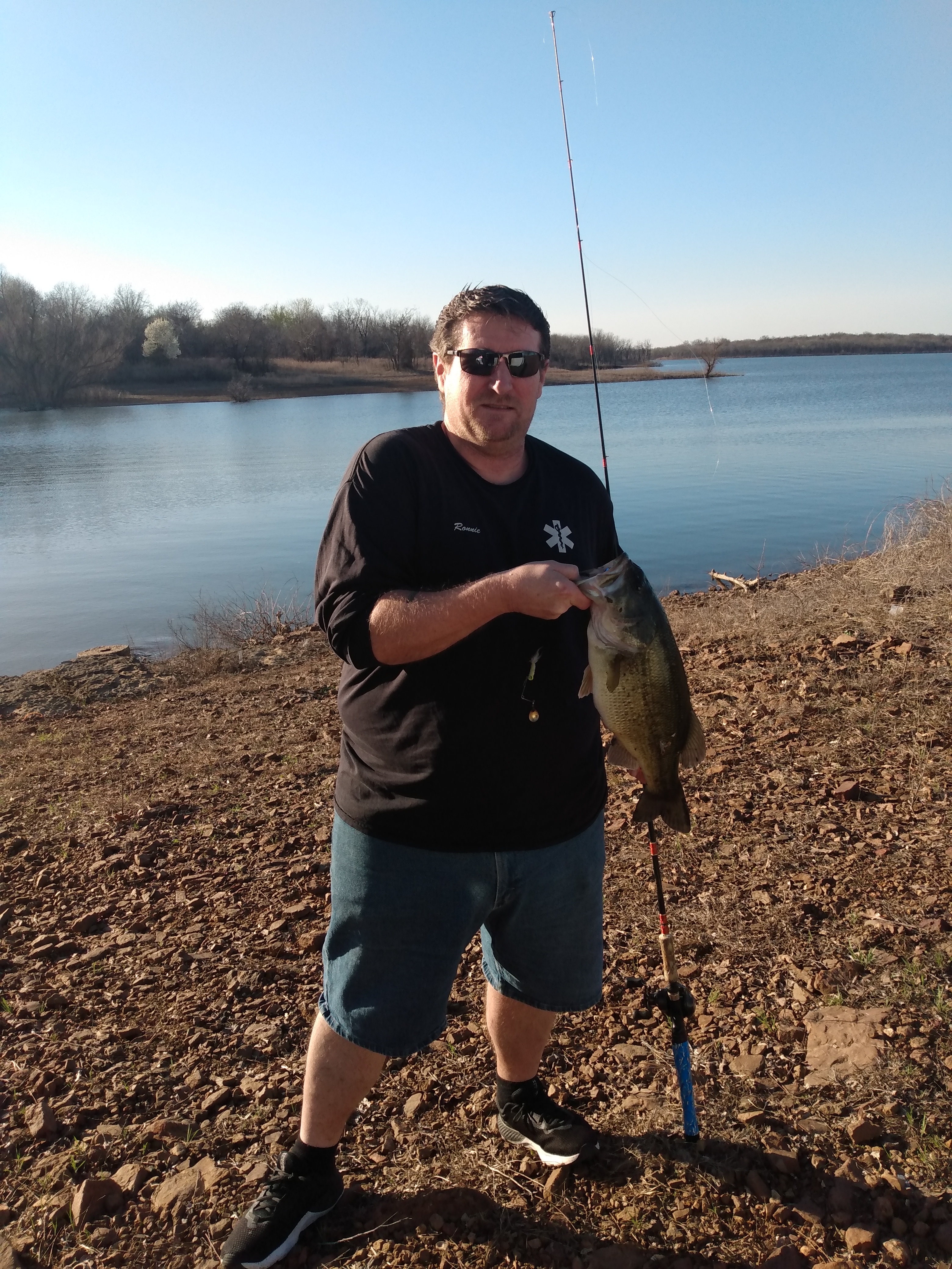
Ronnie G
- Caught at: Fort Gibson
Darrell Purser
- Caught at: Fort Gibson
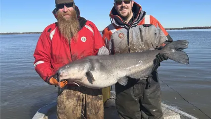
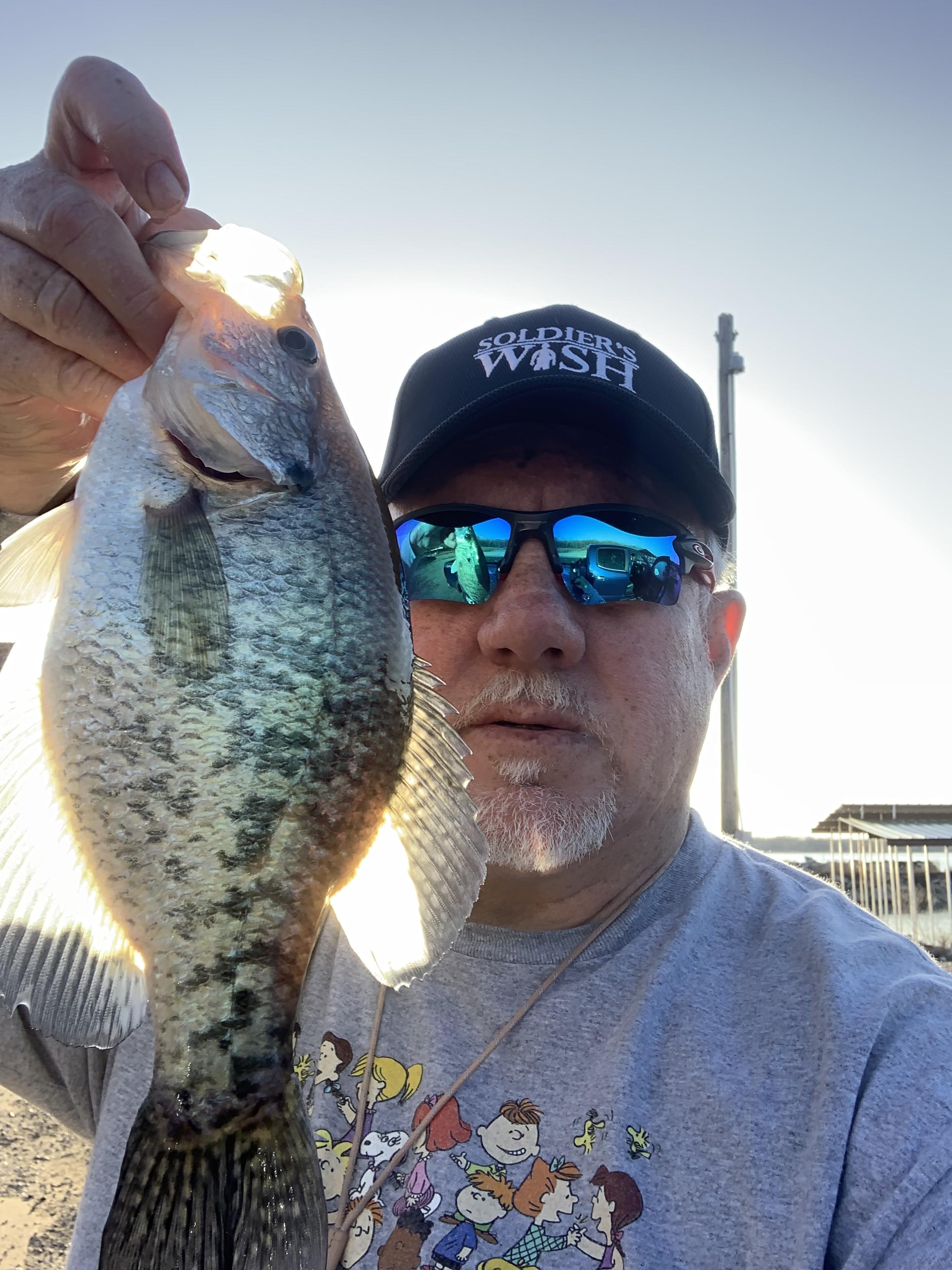
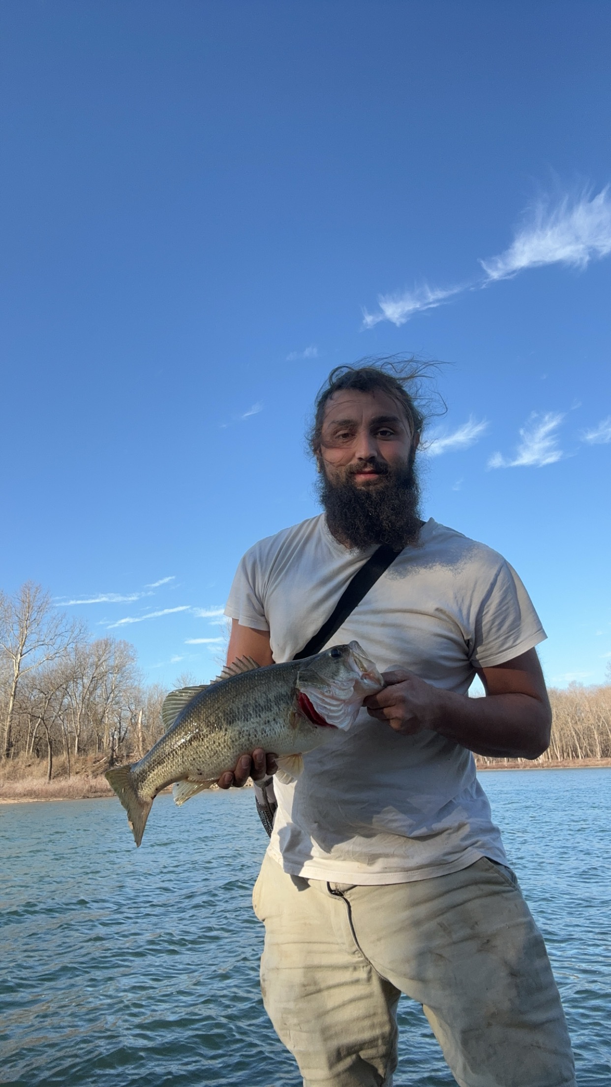
Shane Skaggs
- Caught at: Fort Gibson
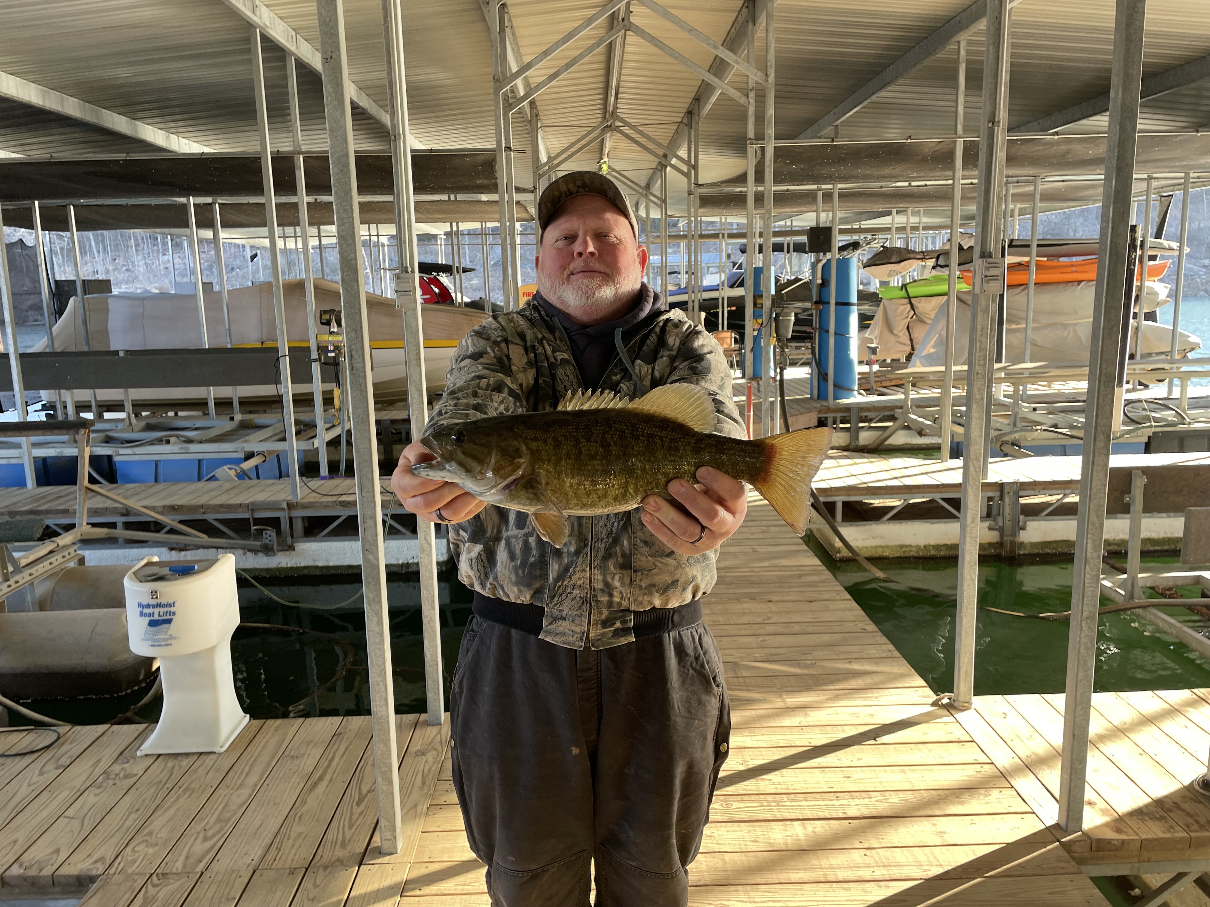
Dustin Wiley
- Caught at: Fort Gibson