
Page 162 - The Freshwater Mussels of Oklahoma
P. 162
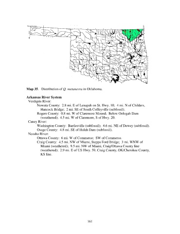
Map 35.   Distribution of Q. metanevra in Oklahoma.

                   Arkansas River System
                     Verdigris River:
                          Nowata County:  2.8 mi. E of Lenapah on St. Hwy. 10;  4 mi. N of Childers,
                              Hancock Bridge;  2 mi. SE of South Coffeyville (subfossil).
                          Rogers County:  0.8 mi. W of Claremore Mound;  Below Oologah Dam
                              (weathered);  4.5 mi. W of Claremore, S of Hwy. 20.
                     Caney River:
                          Washington County:  Bartlesville (subfossil);  4.6 mi. NE of Dewey (subfossil).
                          Osage County:  4.8 mi. SE of Hulah Dam (subfossil).
                     Neosho River:
                          Ottawa County:  6 mi. W of Commerce;  SW of Commerce.
                          Craig County:  4.5 mi. NW of Miami, Stepps Ford Bridge;  3 mi. WNW of
                              Miami (weathered);  9.5 mi. NW of Miami, Craig/Ottawa County line
                              (weathered);  2.9 mi. E of US Hwy. 59, Craig County, OK/Cherokee County,
                              KS line.


                                                            161