
Page 47 - The Freshwater Mussels of Oklahoma
P. 47
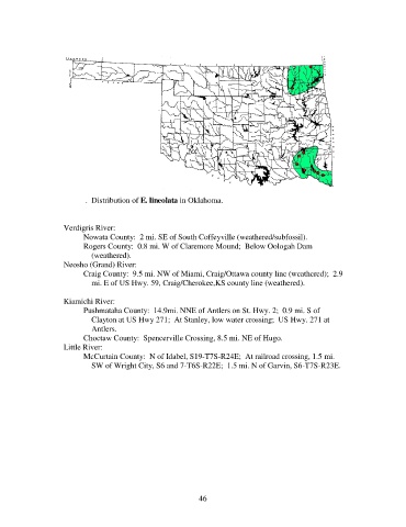
Map 10.  Distribution of E. lineolata in Oklahoma.

                   Arkansas River System
                     Verdigris River:
                          Nowata County:  2 mi. SE of South Coffeyville (weathered/subfossil).
                          Rogers County:  0.8 mi. W of Claremore Mound;  Below Oologah Dam
                              (weathered).
                     Neosho (Grand) River:
                          Craig County:  9.5 mi. NW of Miami, Craig/Ottawa county line (weathered);  2.9
                              mi. E of US Hwy. 59, Craig/Cherokee,KS county line (weathered).
                   Red River System
                     Kiamichi River:
                          Pushmataha County:  14.9mi. NNE of Antlers on St. Hwy. 2;  0.9 mi. S of
                              Clayton at US Hwy 271;  At Stanley, low water crossing;  US Hwy. 271 at
                              Antlers.
                          Choctaw County:  Spencerville Crossing, 8.5 mi. NE of Hugo.
                     Little River:
                          McCurtain County:  N of Idabel, S19-T7S-R24E;  At railroad crossing, 1.5 mi.
                              SW of Wright City, S6 and 7-T6S-R22E;  1.5 mi. N of Garvin, S6-T7S-R23E.


                                                             46