Contacts
Keystone Lake (Google Map) is located 8 miles west of Sand Springs on US 412 and SH 51.
Lake Details
Located
U.S. Corps of Engineers and Oklahoma State Parks manages campgrounds with full RV hookups, boat ramps and designated swimming areas.
- Woody's Bait & Tackle(20913 W 8th St, Sand Springs, OK 74063)- (918) 245-8491
- Bait Shop(Mannford, OK 74044)- (918) 865-3335
- Keystone Lake Bait & Store(998 W Oak Grove Rd, Cleveland, OK 74020)- (918) 899-2649
- Walmart Supercenter (Sand Springs)(220 OK-97, Sand Springs, OK 74063)- (918) 245-0213
- North Harvard Bait( 3326 N Harvard Ave, Tulsa, OK 74115)- (918) 313-3788
- Mister Bass Inc(4000 W Rogers Blvd, Skiatook, OK 74070)- (918) 396-3848
- Walmart Supercenter (Skiatook)(700 W Rogers Blvd, Skiatook, OK 74070)- (918) 396-1244
- Walmart Supercenter (Owasso)(12101 E 96th St N, Owasso, OK 74055)- (918) 272-6609
- Pat's Achery & Outdoors(12601 US-75, Okmulgee, OK 74447)- (918) 756-4632
- Walmart Supercenter (Claremore)(1400 S Reavis Rd, Claremore, OK 74017)- (918) 341-2765
Many public-use areas have gentle shorelines and there are a number of courtesy docks as well. A 1,000 ft berm with wheelchair access is located on the north side of the tailwater below the Corps of Engineers' office. The south shoreline of the spillway has a 500 ft berm with wheelchair access.
Keystone Lake Report
Apr 21. Elevation is Normal (stable), water temperature 60°F and stained. (USACE Lake Level)
Bass, Largemouth, Bass, Smallmouth, Bass, Striped Fair on Alabama rig, bill baits, buzz baits, crankbaits, flukes, jerk baits, jigs, lipless baits, plastic baits around flats, points, riprap, shallows.
Catfish, Blue, Catfish, Channel, Catfish, Flathead Fair on chicken liver, cut bait, dough bait, goldfish, live bait, live shad, punch bait, stinkbait around below the dam, brush structure, creek channels, main lake, riprap, river channel, river mouth.
Bass, White, Crappie, Black, Crappie, White, Sunfish, Bluegill, Sunfish, Green, Sunfish, Redear Fair on hair jigs, jigs, live bait, minnows, worms around brush structure, docks.
Report submitted by Bailey Johnson (Game Warden Creek County)
Additional Resources
Fish Species of Interest
Upload Your Catch
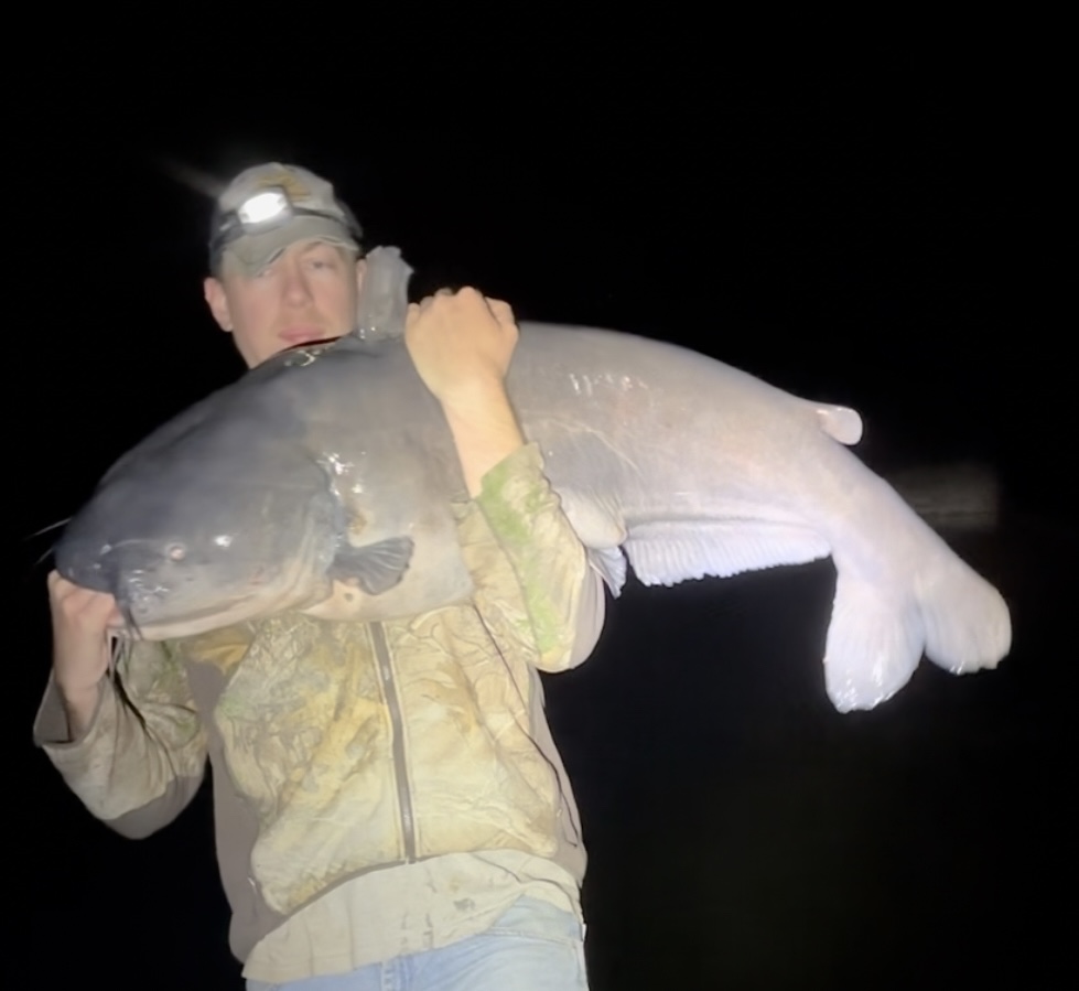
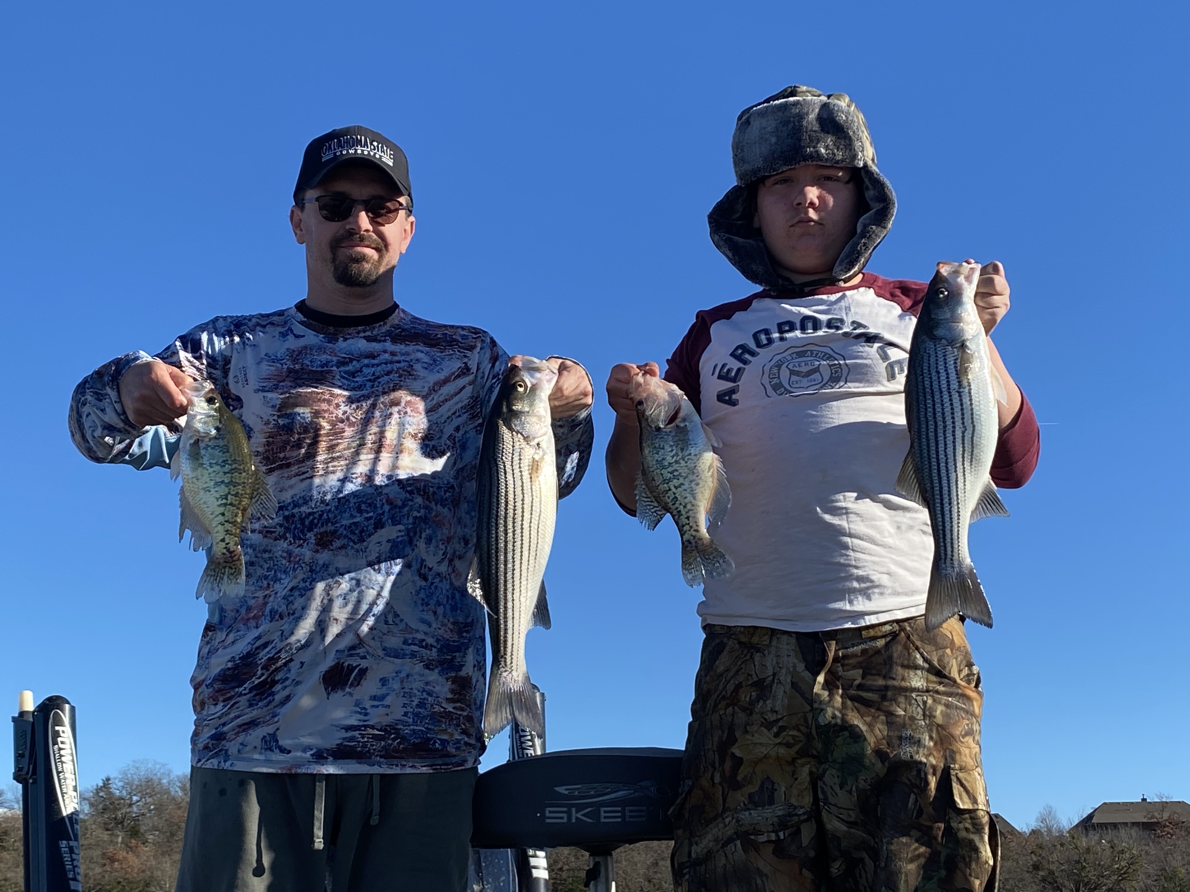
Justin Mayberry
- Caught at: Keystone Lake
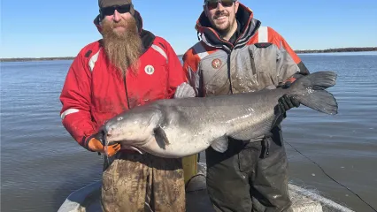
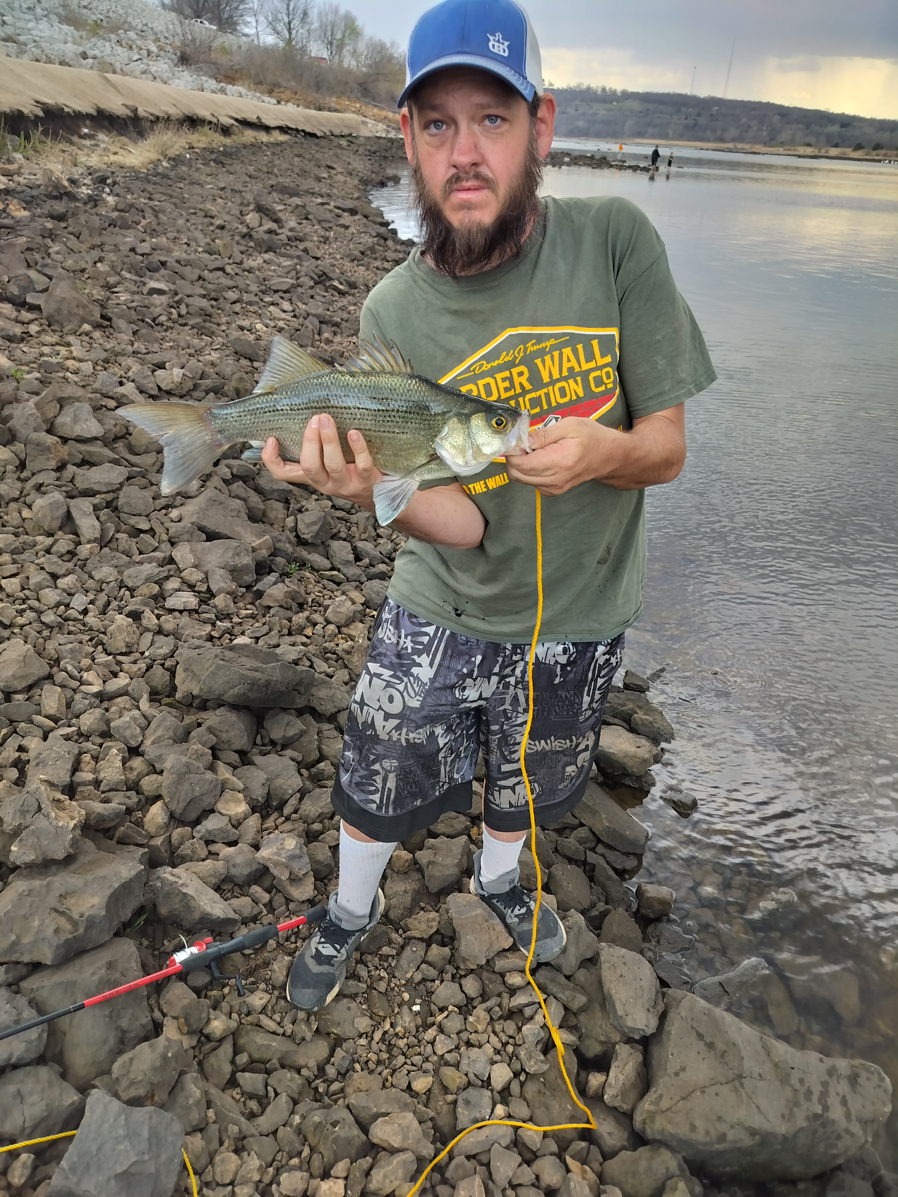
2shanesguideservice.com T
- Caught at: Keystone Lake
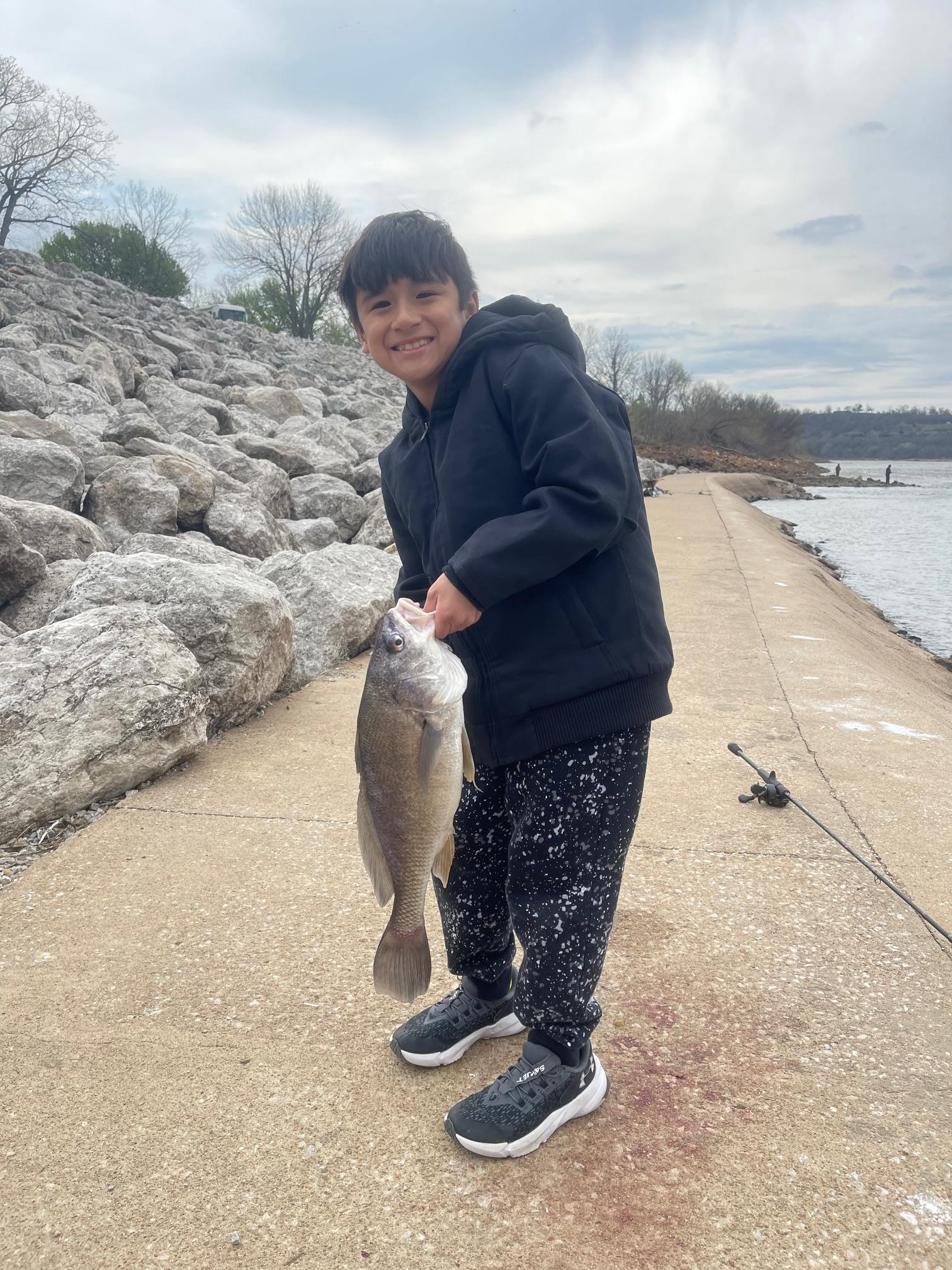
Aristotle Maragas
- Caught at: Keystone Lake
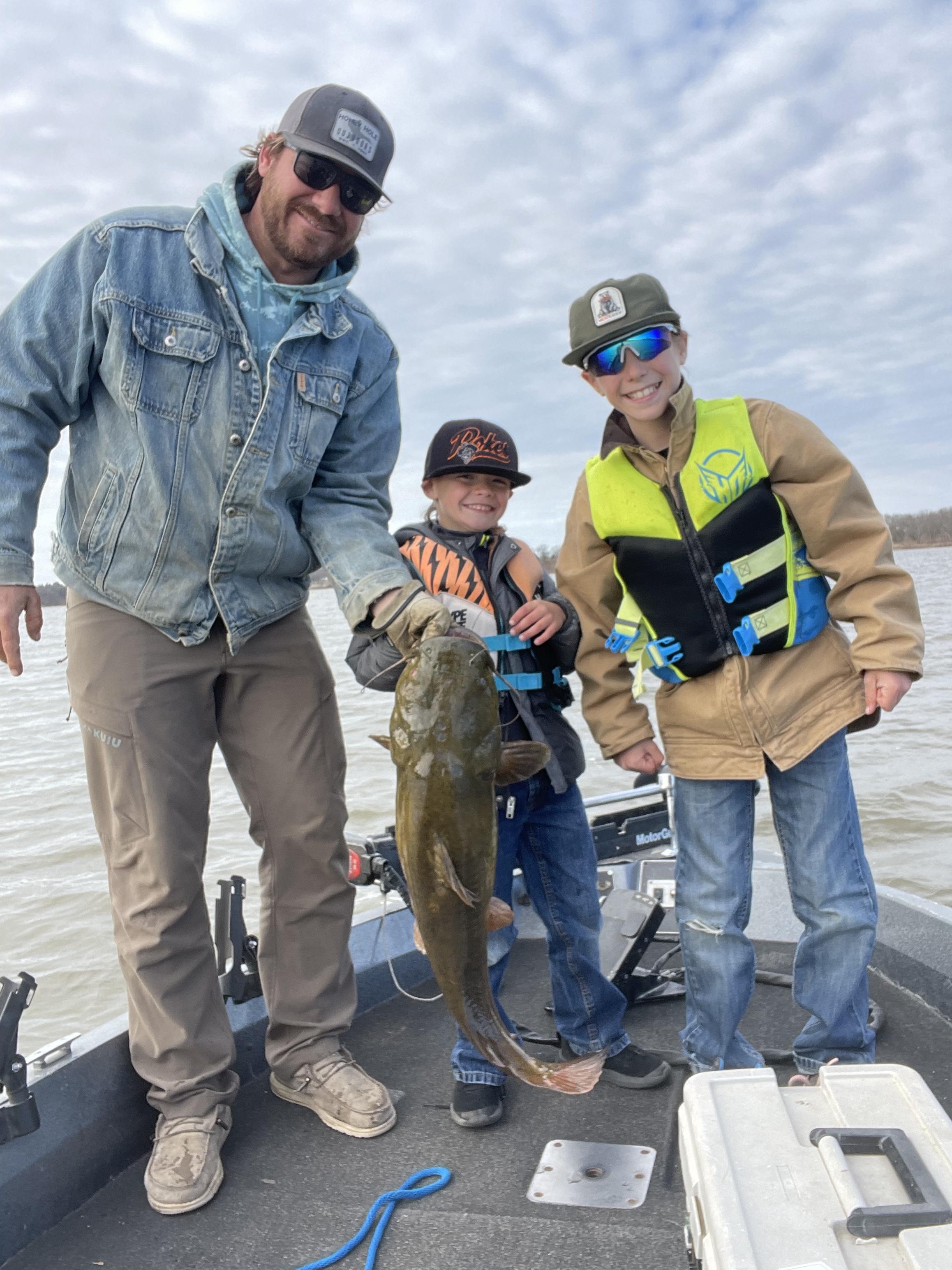
Christopher Frescas
- Caught at: Keystone Lake
Hot Rods
- Caught at: Keystone Lake
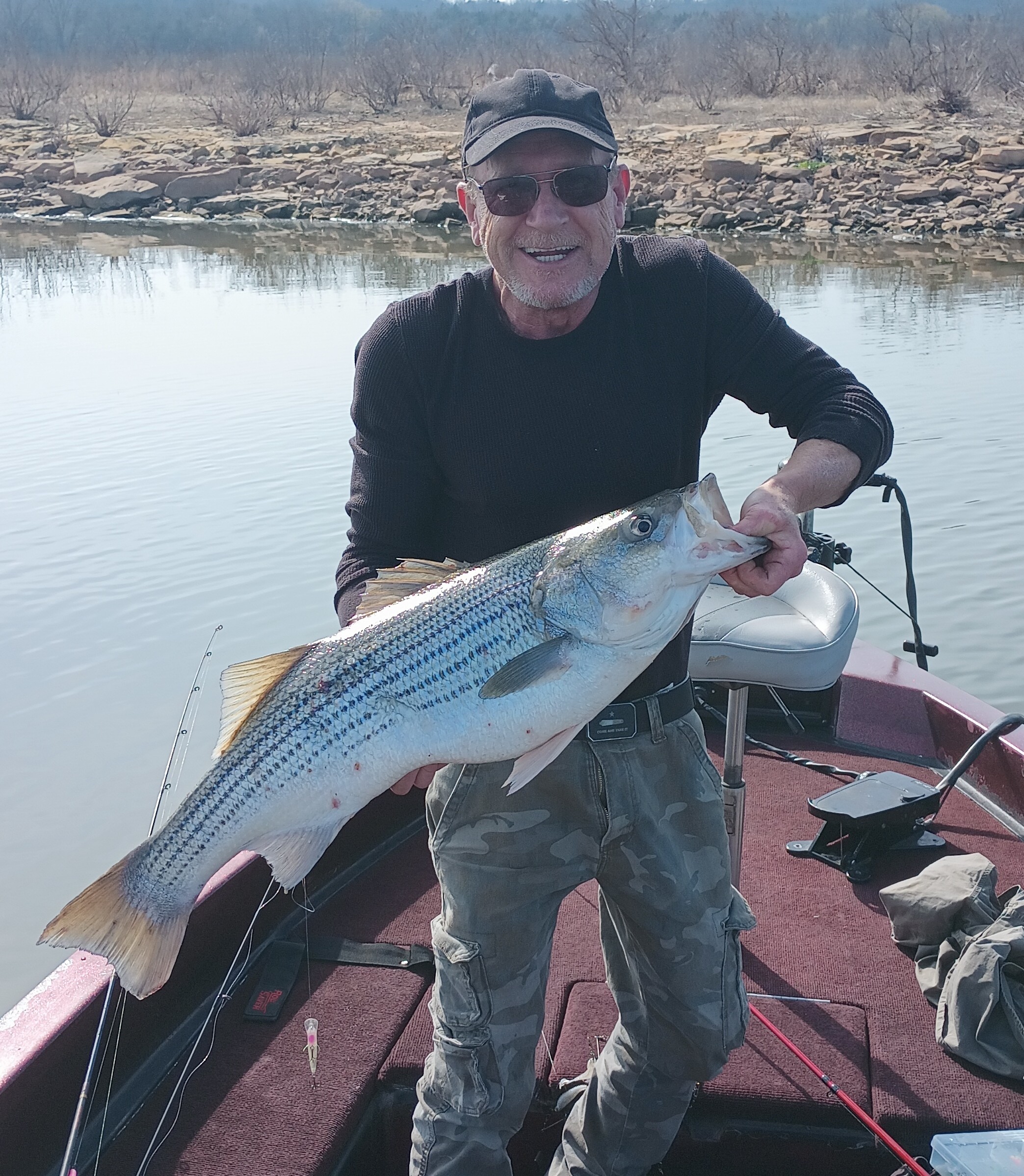
Glenn Peters
- Caught at: Keystone Lake