Attention Non-Residents
The Oklahoma Wildlife Conservation Commission adopted new rules in 2025 that require non-residents accessing certain Oklahoma public hunting and fishing areas to check in and out of the area. By checking in and out of these areas, hunters, anglers, shooters, birdwatchers, hikers and any other users can help the Wildlife Department better understand how the area is being used. There is no additional cost associated with checking in or out of an area. There is no limit to the number of check ins for an individual in a year.
Contacts
Operated by the Grand River Dam Authority (GRDA). There are several Grand Lake State Parks that have public boat ramps, restrooms, and camping facilities. The Cherokee area is located just below Pensacola Dam. Cherokee Part 2 is located on the East side of Pensacola Dam. The Disney area is located in Disney. The Bernice area is located on the east side of the Highway 85A Bridge over Horse creek. The Honey Creek area is located west of highway 59 in Grove. Twin Bridges State Park is located at the confluence of the Neosho and Spring Rivers on Highway 60 near Wyandotte. Duck Creek, Shangri-La, Connors Bridge, and Miami City View Park all have public access ramps as well.
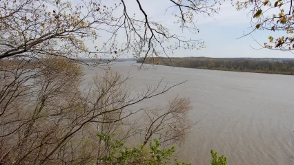
Grand Lake (Google Map) is located 15 miles east of I-44 in between US 60, SH 82, SH 28, SH 10 and US 59.
Lake Details
Located
Grand River Dam Authority and Oklahoma State Parks manage campgrounds with full RV hookups, boat ramps, fishing docks and designated swimming areas.
Bait & Tackle shops are displayed by distance, starting with the closest.
- Benge Creek Outfitters(291 West W Broadway Ave, Langley, OK 74350)- (918) 782-6525
- Blue Water Bait & Tackle(235 W MAIN ST DISNEY 528, Disney, OK 74340)- (918) 435-4623
- Blue Moon Bait & Tackle(448820 East, OK-85, Ketchum, OK 74349)- (918) 782-4009
- Ketch-um Bait Shop(32374 OK-82, Vinita, OK 74301)- (918) 323-2009
- Littlefield's Sporting Goods(55901 OK-85A, Afton, OK 74331)- (918) 257-4027
- Honey Creek Outdoors(4600 US-59, Grove, OK 74344)- (918) 801-7653
- Walmart Supercenter (Grove)(2115 S Main St, Grove, OK 74344)- (918) 786-8561
- Grand Lake Sports Center(301 S Main St, Grove, OK 74344)- (918) 786-2300
- Gibson Bait & Tackle(305 N Wyandotte St, Locust Grove, OK 74352)- (918) 479-1970
- Big Daddys Lures(7339 S 437, Locust Grove, OK 74352)- (918) 479-4665
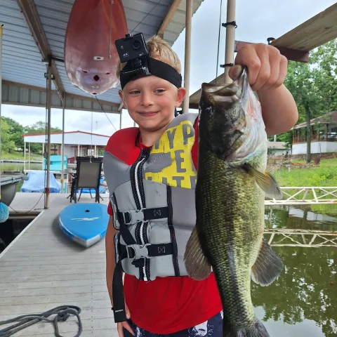
Hybrid Striped Bass are regularly stocked. Florida Largemouth bass stocked recently (since 2020)
Many of the private resorts operate fishing dock concessions. Ottawa, Delaware, and Mayes Counties, (918) 256-5545, Grand Lakes Association (918) 786-2289.
Applies to all tributaries and upstream to state line, and to the area below Pensacola Dam downstream to State Highway 82 bridge.
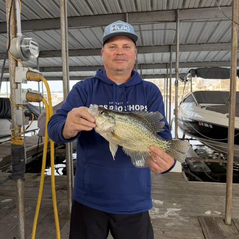
All crappie: 15 combined per day/10-inch minimum.
Below Grand Lake-Pensacola Dam
Prohibited Methods:(Also see “Tailwaters” regulations; and shad restrictions on Aquatic Nuisance Species (ANS))
Bowfishing prohibited below turbine outlets downstream to State Park and below spillway outlet downstream to highline crossing. The next ½ mile below the highline crossing is closed only when the spillway gates are discharging water and for seven days following closure of the gates.
Gigs, spears and spearguns are prohibited below turbine outlets downstream to State Park bridge and below spillway outlets downstream for one mile.
Noodling is prohibited below turbine outlets downstream to State Park bridge and below the spillway outlets downstream to highline crossing, except noodling shall be legal the day of and two days following closure of spillway.
Snagging is prohibited below the turbine outlets downstream to the State Park Bridge throughout the year. Snagging is prohibited below the spillway outlets downstream to the highline crossing (a distance of approximately ½ mile) throughout the year with the next ½ mile downstream from the highline crossing closed only during periods when the spillway gates are closed.
Grand Lake Report
Feb 15. Elevation is Normal (stable), water temperature 49°F and stained. (USACE Lake Level)
Bass, Largemouth Fair on Alabama rig, crankbaits around brush structure, docks, points.
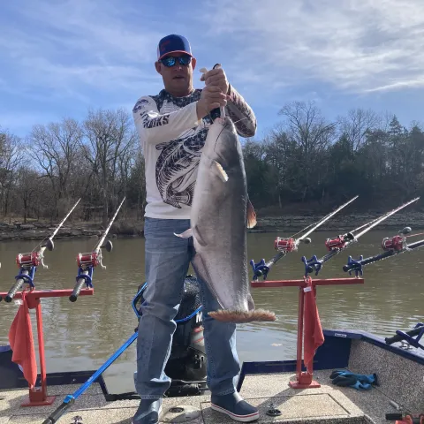
Catfish, Blue Fair on chicken liver, cut bait around docks, main lake.
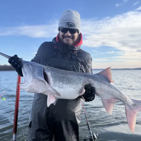
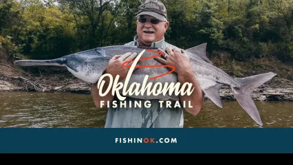
Paddlefish Good on snagging around main lake.
Report submitted by Riley Willman (Game Warden Delaware County)

