The Oklahoma Wildlife Conservation Commission adopted new rules in 2025 that require non-residents accessing certain Oklahoma public hunting and fishing areas to check in and out of the area. By checking in and out of these areas, hunters, anglers, shooters, birdwatchers, hikers, and any other users can help the Wildlife Department better understand how the area is being used. There is no additional cost associated with checking in or out of an area. There is no limit to the number of check-ins for an individual in a year.

Ft. Supply Lake (Google Map) is located 1 mile south of Ft. Supply and 12 miles northwest of Woodward.
Lake Details
Located
U.S. Corps of Engineers manages campgrounds with full RV hookups, boat ramps and swimming beaches.
Bait & Tackle shops are displayed by distance, starting with the closest.
- Walmart Supercenter (Woodward)(3215 Williams Ave, Woodward, OK 73801)- (580) 254-3331
- Walmart Supercenter (Alva)(914 Oklahoma Blvd, Alva, OK 73717)- (580) 327-4021
- Gilchrist General Store(122 W Main St, Canton, OK 73724)- (580) 886-3200
- Roman Nose General Store(2738 Lot 301, OK-8A, Watonga, OK 73772)- (580) 623-7750
Fall gillnetting every other year to evaluate fish population. Cedar trees are added to refurbish existing habitats.
Pull-off access locations are abundant and the road by the dam provides a number of access points. For additional info contact Woodward County, (580) 766-2701.
Additional Resources
Fish Species of Interest
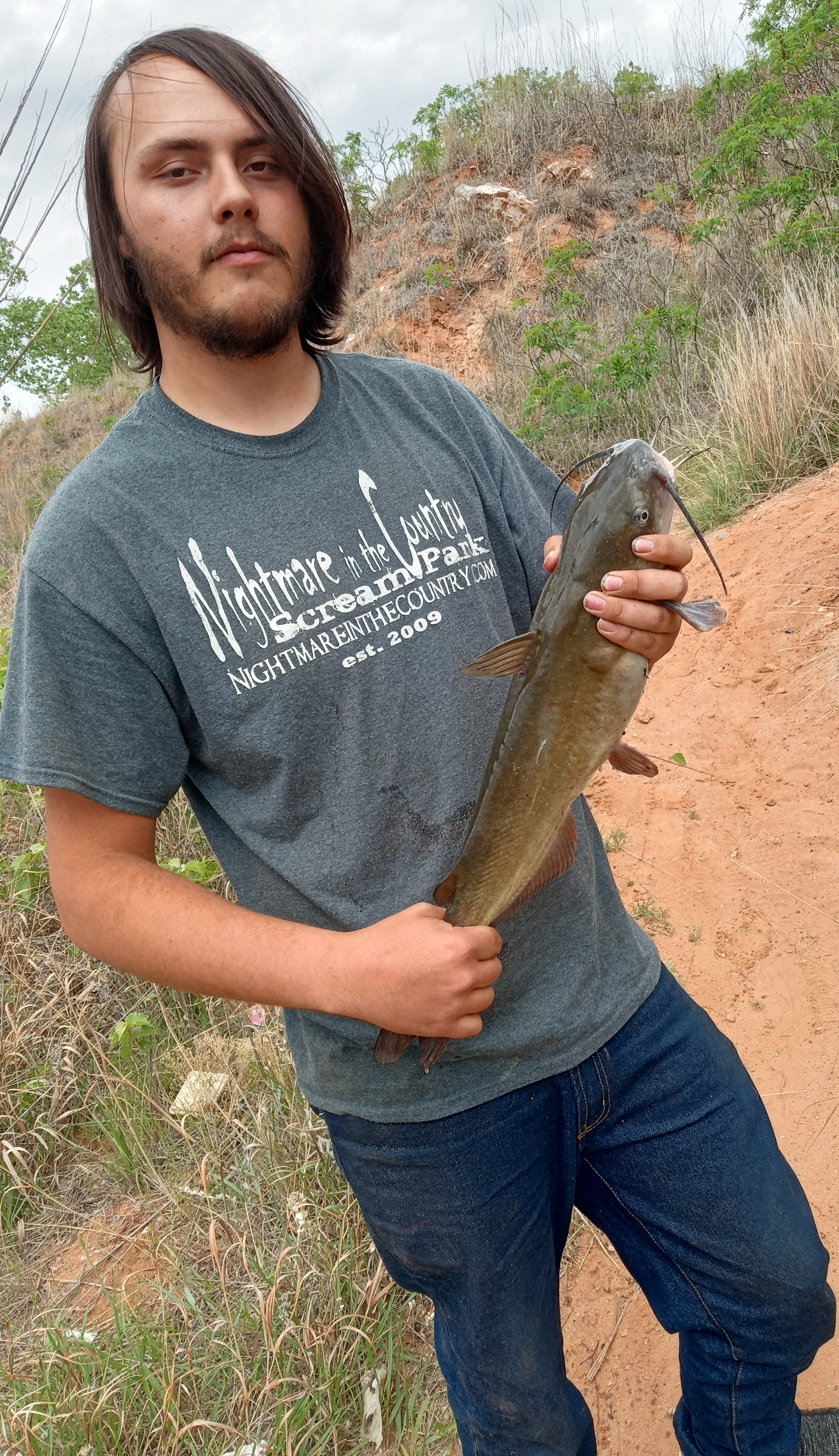
Upload Your Catch
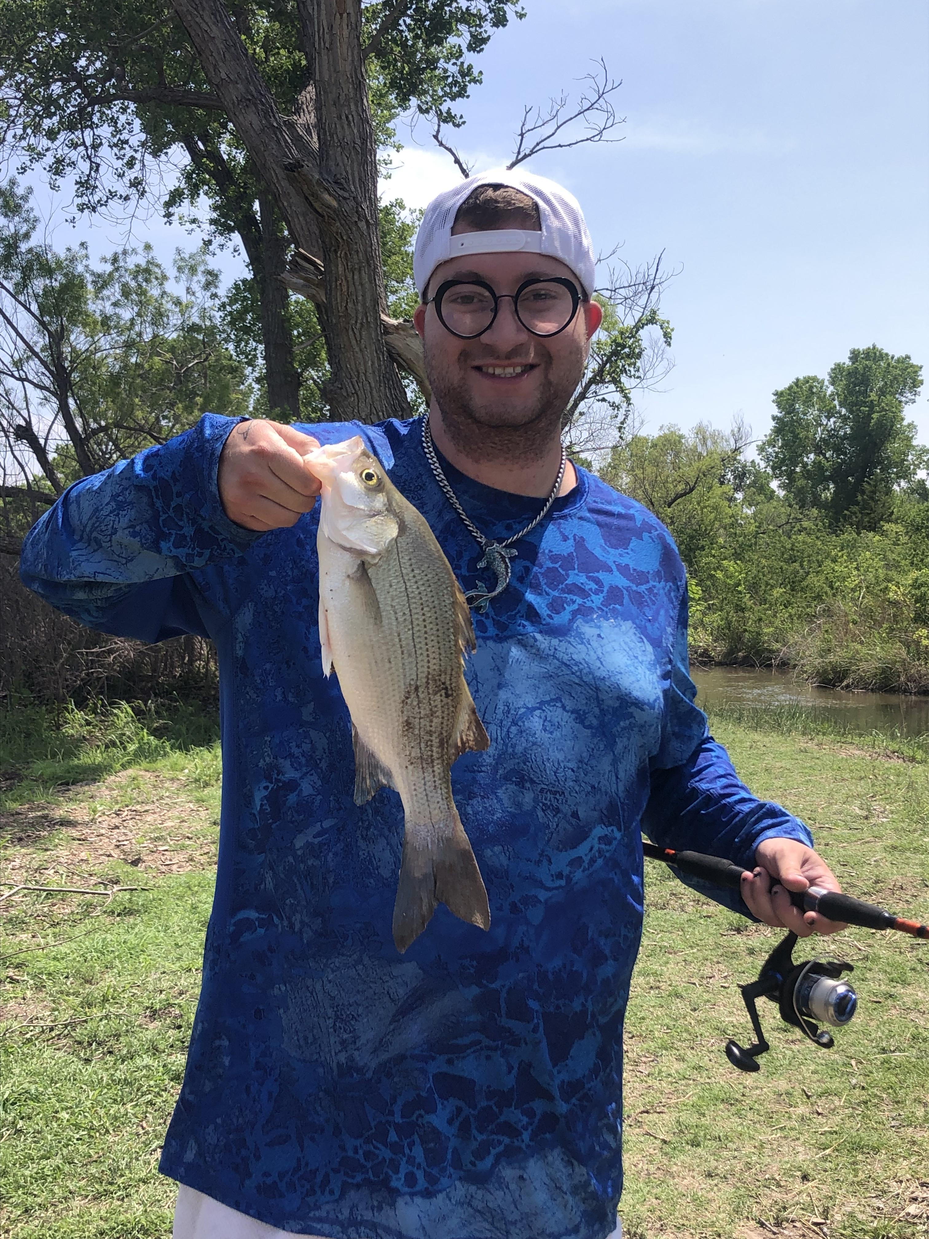
T Dubs
- Caught at: Fort Supply
Jamin F
- Caught at: Fort Supply