Attention Non-Residents
The Oklahoma Wildlife Conservation Commission adopted new rules in 2025 that require non-residents accessing certain Oklahoma public hunting and fishing areas to check in and out of the area. By checking in and out of these areas, hunters, anglers, shooters, birdwatchers, hikers and any other users can help the Wildlife Department better understand how the area is being used. There is no additional cost associated with checking in or out of an area. There is no limit to the number of check ins for an individual in a year.
Contacts
Operated by U.S. Corps of Engineers. Great Salt Plains State Park manages five camping areas, which include six different cabins. There is also a community center building with kitchen facilities available for rent. The park also offers an interpretative trail, accessible to those with disabilities, a combination equestrian, hiking and mountain bike trail, boat ramps, and a designated swimming area.
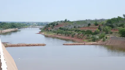
Great Salt Plains Lake (Google Map) is located on the Salt Fork of the Arkansas River approximately eight miles northeast of Jet and 12 miles east of Cherokee.
Lake Details
Located
Great Salt Plains Lake is located on the Salt Fork of the Arkansas River approximately eight miles northeast of Jet, Oklahoma, and 12 miles east of Cherokee
Salt Plains State Park and U.S Corps of Engineers manage campgrounds, an interpretative trail, accessible to those with disabilities, a combination equestrian, hiking and mountain bike trail, boat ramps and designated swimming areas. There is also a community center building with kitchen facilities available for rent.
Bait & Tackle shops are displayed by distance, starting with the closest.
- Sublime SmokeHouse Bait and Tackle(Sublime SmokeHouse Bait and Tackle)- (580) 748-4575
- Atwoods (Enid)(5418 W Owen K Garriott Rd, Enid, OK 73703)- (580) 233-3700
- Academy (Enid)(4406 W Owen K Garriott Rd, Enid, OK 73703)- (580) 242-8350
- Walmart Supercenter (Enid)(5505 W Owen K Garriott Rd, Enid, OK 73703)- (580) 237-7963
- Walmart Supercenter (Alva)(914 Oklahoma Blvd, Alva, OK 73717)- (580) 327-4021
- Bubba's Outdoor Sports(515 W Doolin Ave, Blackwell, OK 74631)- (580) 262-2275
- Gilchrist General Store(122 W Main St, Canton, OK 73724)- (580) 886-3200
- Roman Nose General Store(2738 Lot 301, OK-8A, Watonga, OK 73772)- (580) 623-7750
- Walmart Supercenter (Ponca City)(1101 E Prospect Ave, Ponca City, OK 74601)- (580) 762-0395
- Grit & Grace Outdoors(712 E 7th St, Newkirk, OK 74647)- (580) 362-1016
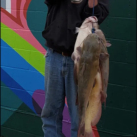
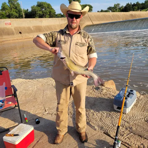
Channel catfish and saugeye are stocked.
The Coon Hollow approach channel has an easy access fishing dock and ramp. Below the spillway on the north side is a large paved area and fishing jetty. Restrooms accommodate wheelchairs. The small lake near the Salt Plains National Wildlife Refuge headquarters has an easy-access fishing pier. For additional info contact Alfalfa County, (580) 626-4794.
(including lake and tailwaters)
Walleye, sauger or saugeye: six combined per day/no size limit.
